We sit down with Bo Merckle of SamsSon Lures to discuss his unique idea for the ultimate memorializing bass fishing lure of your loved one.
The Blog
Travel
Trips
Humor
Top 10 Bass Destinations
1. Lake Guntersville, Alabama Lake Guntersville is a 69,000-acre lake located in northern Alabama and is widely regarded as one of the best bass fishing destinations in the country. The lake is...
Fishing Funnies
A gallery of fishing humor to lighten your day. Take a break and enjoy some fishing funnies from Basshounds.
Read Maps
Techniques
Knots
Graphs
Seasonal Guide to Reading Topography Maps
Master the art of reading topography maps to locate largemouth bass hotspots during each season. Learn how to identify key structures and locations that will help you catch more fish.
Spring Spinner Bait for Bass a Fishing Guide
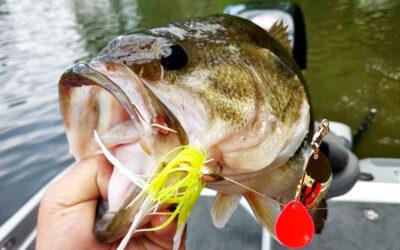
The purpose of a spinner bait is to mimic a little school of bait fish. If you have some flash, have some vibration and mimic a school of bait fish, hopefully they will eat that bigger bait, and you catch yourself a fish.
Popular Fishing Knots
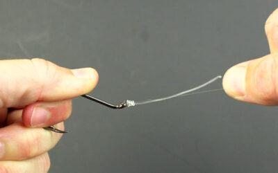
These fishing knots are widely used and trusted by anglers targeting largemouth bass. Familiarize yourself with these knots, and you’ll be well-prepared for a successful day on the water.
